Showing posts with label Mt. Baldy. Show all posts

Sunday, August 31, 2014

Register Ridge on Mt. Baldy (with missing hiker)

At 5:20AM on August 30 (2014), I began walking by headlamp up the dirt road to the start of the Ski Hut Trail. Several minutes later, at the hairpin turn by the waterfall, I encountered two officers emerging from a sheriff's SUV. They informed me that a search and rescue (SAR) operation was underway for a hiker who had not returned from a climb of Mt. Baldy the previous day. The last communication with the missing hiker was at 6PM the night before, when he called to say he was in "treacherous" terrain. After gleaning every other detail I could from the officers, I continued on with eyes and ears open for the missing hiker.

Upon reaching the intersection with the Ski Hut Trail, I was disappointed to discover that the nice new sign that was posted there a few months ago was gone. Stolen, I assumed. Continuing up past the rusty register box and then around the bend, I easily spotted the unmaintained (but increasingly popular) "Register Ridge" path in the dark. Slogging up a few hundred feet before turning off my headlamp, I became aware of something that is usually absent in these hills: annoying insects. These mosquitoes or gnats or whatever they were pestered me for at least an hour.  

First light on Mt. Baldy

First light on Register Ridge

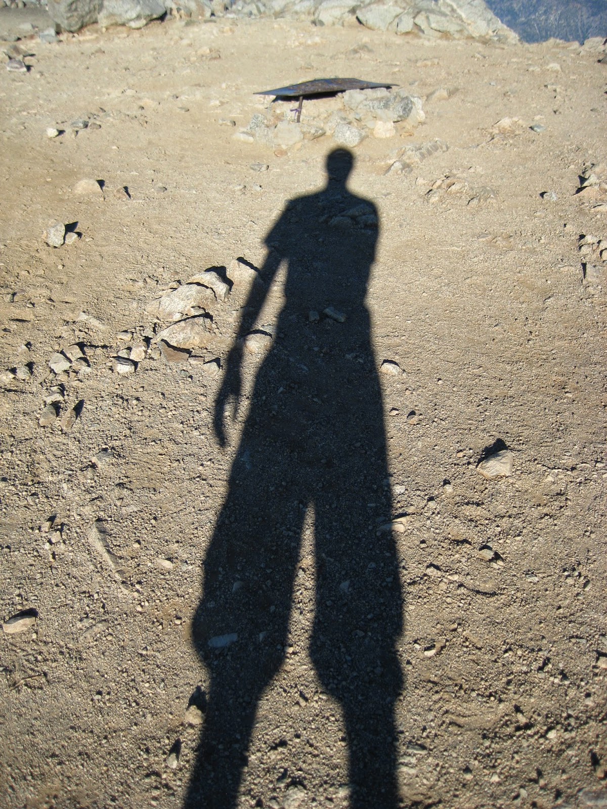
Playing with shadows at 6:30AM

 Early morning on Baldy Bowl. Somewhere out there, a benighted hiker is praising the dawn.

With the exception of two things, the remainder of the hike to the summit was unremarkable. First, I made a point of stopping every few minutes to look and listen for the missing hiker. Second, one or two SAR helicopters were making the rounds, sometimes passing only a hundred feet overhead. 

The homestretch. 

SAR helicopter passing over Harwood Peak

 Baldy/Harwood Saddle in morning shade

A little before 8AM, I stepped onto the summit and noticed two SAR personnel nearby on the West Baldy ridge. After stopping for a few pictures on the summit, I walked over to them and inquired about the search. They had hiked up to the summit during the night, but had seen no signs of the missing hiker.
The summit at 8AM

 SAR helicopter heading toward West Baldy Peak

After taking a short break there on the West Baldy ridge (and thereby unfortunately missing the omnipresent Shin on the summit), I started down the Ski Hut Trail. Several hundred feet down, in the vicinity of the airplane wreckage, I spotted two SAR personnel. Moving slowly through the upper reaches of Goode Canyon, they were pausing every minute or so to yell the missing hikers name. Continuing on my way, I decided to cut down the western side of the bowl, in order to scan the bowl for signs of the missing hiker.  

Baldy Bowl

 San Antonio Ski Hut

Arriving at the ski hut with shoes full of sand and grit from scree-skiing, I paused to empty them out, which was just long enough to hear a woman scream, "Oh my God, here's my wedding ring! I've been looking for this for a month!"

Far below the ski hut, I saw two pairs of SAR personnel slowly making their way up San Antonio Canyon. With full packs and long sleeve clothes, they must have been baking. Around the same time, I found myself re-entering mosquito territory, and was subsequently pestered all the way back down to the parking lot. But before reaching my car, I made a quick stop at the porta john, which was as hot as a sauna. Is there any better way to end a hike?

Arriving home at noon, I immediately hopped on the internet to check for updates on the missing hiker. To my surprise, there was nothing to be found then or the rest of the day. It was only later in the evening that I got word (from the omniscient Shin) that the hiker had been found around noon. 

Saturday, September 7, 2013

Hail and Live Music on Mt. Baldy

Mt. Baldy is often underestimated, which is why I didn't bring my rain jacket on the Baldy Village Trail today. The hike went smoothly and we were having a happy little picnic on the summit. But then, with little warning, we were utterly bombarded by a rather shocking hail storm that lasted for a solid thirty minutes. The pellets were small, but they were coming down hard and stung the tops of my ears.

At Baldy/Harwood saddle, I sought shelter from the icy onslaught under a stunted pine tree. As the hail hit the branches, it melted, showering me with drips. Within minutes, I was completely soaked down to my underwear and cold. Though the hail hadn't stopped, I needed to get moving again.

I hiked as fast as I could down the Devil's Backbone Trail and was very relieved to reach the notch, where the Bighorn Music Festival was happening. Walking into the restaurant, I found my friends from the The Fallen Stars, who were about to go on. I was thoroughly drenched and feeling somewhat shell-shocked by the hail storm, but stuck around to watch them perform a great set of Americana tunes.     

'Twas another memorable day on Mt. Baldy.

The always photogenic Norma Ryan on the Baldy Village Trail.

Good times on the summit moments before the hail storm

My shelter from the hail storm, which served to completely soak me. 

Looking back at the summit during a break from the hail 

The Fallen Stars rocking the Bighorn Music Festival

Sunday, August 25, 2013

Upper San Antonio Canyon on Mt. Baldy

This route follows the Ski Hut Trail as far as the ski hut. But instead of crossing San Antonio Creek and continuing on the trail, the route heads straight up the creek. After a few hundred vertical feet of rock hopping up the creek, steep terrain forces you onto the ridge on climber's left. This is where things get interesting and a little dicey. For roughly two hundred vertical feet, you must grovel straight up sand and loose scree until it becomes hard, steep dirt. The final fifty feet is delicate, third class dirt climbing with the possibility of a nasty slide or tumble. After making the final stressful moves off the dirt and into the brush above, you're home free. Then it's just a few hundred more vertical feet of intermittent brush and loose sand/scree to the Devil's Backbone Trail.

Unexpected company on the way up the Ski Hut Trail

The start of the route up San Antonio Creek from the ski hut

Kurt Wedberg and his fellow Everest summiteers from 2012. I told them that climbing Everest was great training for Mt. Baldy. They agreed.

Unexpected company on the way down the Ski Hut Trail


Sunday, April 7, 2013

The South Ridge of Mt. Baldy

 
The South Ridge route on Mt. Baldy

 The South Ridge of Mt. Baldy is the ridge between San Antonio Canyon and Goode Canyon. It starts at 5600 feet and is intersected by the Ski Hut trail at 8800 feet.

At 6:30AM on April 6, Patrick Moran, Dave Gillanders, and I left the car at Manker Flat and descended 400 feet to near the bottom of the South Ridge. The 100 foot drop into the canyon is hazardous. I took a 20-foot slide down there once and Patrick got caught in a rock/dirt avalanche there once, escaping bloody and battered with a severed finger tip. It came as no surprise, then, that we spotted a fixed line dropping to the canyon floor. But instead of using the questionable line, we opted for an alternate and thankfully uneventful way down. 

From the floor of San Antonio canyon, we descended 5-10 more minutes until the canyon narrowed precipitously. We figured that this would be a good place to gain the ridge. What followed was a stressful, 30-minute, 200-foot climb of a rotten, third class slope. I wouldn't recommend it.

Once on the ridge, we managed to avoid the bushwhacking that had plagued Dave and I on our previous ascent by sticking to the sandy and laborious right side of the ridge. 1.5 hours after leaving the car, we finally got above the nastiness and began the pleasant 2000-foot ridge climb to the intersection with the Ski Hut trail. We then followed the Ski Hut trail up the remainder of the South Ridge to the summit.

It took us five hours to descend 400 feet to the bottom of the ridge and then climb 4300 vertical feet to the summit.  

Dave about to get into the nastiness as we climb out of the canyon and onto the ridge.

 The beginning of the nice part of the ridge.

 Patrick getting into the good stuff.

Dave on the ridge. 

 Patrick among the blocks.

Above the point where the Ski Hut trail intersects the South Ridge, I got off the main trail and stumbled into airplane alley. 

More wreckage in the upper reaches of Goode Canyon. It was all over the place. 

200 feet above the airplane wreckage and back on the main trail. 

Baldy summit. 

That's one portion of the South Ridge up there.

Monday, March 18, 2013

Register Ridge, Mt. Baldy (yet again)

It had been over five months since I'd hiked up a mountain, and boy did I need it. I went up Mt. Baldy via Register Ridge and the Ski Hut trail. The stretch from the summit down to the boulder field was mostly snow-covered, and I donned micro-spikes for the west side of the bowl. Twas a fine day in the hills.

 Early morning light on the surprisingly dry bowl

 First time I've ever seen a sign here

 Register Ridge

 Register Ridge

 Register Ridge

 Register Ridge

A hazardous snow crossing on the Devil's Backbone trail. 

 A young bighorn sheep

 Looking down the Devil's Backbone

 The summit

 Here's another view of that hazardous snow crossing. 

Where the Ski Hut trail intersects the South Ridge

 The icy west side of the bowl

Saturday, February 25, 2012

Spur of the Moment (Mt. Baldy)

Patrick Moran and I planned to hike the Devil's Backbone Trail on Mt. Baldy yesterday.  But after walking up the dirt road for twenty minutes, the urge to get off the beaten path became irresistible.  Thus, on a whim, we ascended a trail-less spur ridge that drops down from Devil's Backbone, two ridges east of Register Ridge.  We eventually merged with the trail and followed it to the top, which we reached at 9:00AM. 

Dawn

Gaining the ridge after ten minutes of groveling

 Comfortable walking on a bed of pine needles

An unusual angle of Baldy Bowl 

Devil's Backbone Trail

The final slog to the summit