Wednesday, September 3, 2014

Aerial Drone Video of the Khumbu Himal (Mt. Everest Region)

This past May (2014), Jon Miller from The Rest of Everest trekked through the Khumbu Himal (Mt. Everest region in Nepal) with two quadcopter drones equipped with video cameras. Upon returning, he edited the footage into a polished, twelve-minute video, which you can watch here:


The video provides stunning birds-eye views of Renjo La, Gokyo, Cho La, and the southside basecamp of Mt. Everest. Everest basecamp is observed to be eerily deserted after the massive avalanche into the Khumbu icefall a month earlier, which claimed sixteen lives.

The video is particularly riveting for me, because I spent 45 days trekking through that region some years ago. It's amazing to be able to relive my experiences of the places listed above, especially the somewhat obscure Renjo La and Cho La passes, through the eyes of the remote-controlled quadcopter. It was also gratifying to have first viewed the video with Jon Miller himself, on a beach in Maine, of all places.    

Tuesday, September 2, 2014

Sender One Climbing Gym


Earlier this summer, I roped up for the first time since (gulp!) 2002. My choice of venue for the occasion was Sender One climbing gym in Santa Ana, CA. I've since been back twice and would like to make it a regular occurrence.

Owned by internationally renowned rock climber Chris Sharma, Sender One features sport climbing routes that are varied, well-maintained, and frequently refreshed. In addition to some short routes, there is a great selection of relatively long routes. The gym also has a huge bouldering area, along with impressive facilities for yoga, fitness, and kid's climbing.

Sunday, August 31, 2014

Register Ridge on Mt. Baldy (with missing hiker)

At 5:20AM on August 30 (2014), I began walking by headlamp up the dirt road to the start of the Ski Hut Trail. Several minutes later, at the hairpin turn by the waterfall, I encountered two officers emerging from a sheriff's SUV. They informed me that a search and rescue (SAR) operation was underway for a hiker who had not returned from a climb of Mt. Baldy the previous day. The last communication with the missing hiker was at 6PM the night before, when he called to say he was in "treacherous" terrain. After gleaning every other detail I could from the officers, I continued on with eyes and ears open for the missing hiker.

Upon reaching the intersection with the Ski Hut Trail, I was disappointed to discover that the nice new sign that was posted there a few months ago was gone. Stolen, I assumed. Continuing up past the rusty register box and then around the bend, I easily spotted the unmaintained (but increasingly popular) "Register Ridge" path in the dark. Slogging up a few hundred feet before turning off my headlamp, I became aware of something that is usually absent in these hills: annoying insects. These mosquitoes or gnats or whatever they were pestered me for at least an hour.  

First light on Mt. Baldy

First light on Register Ridge

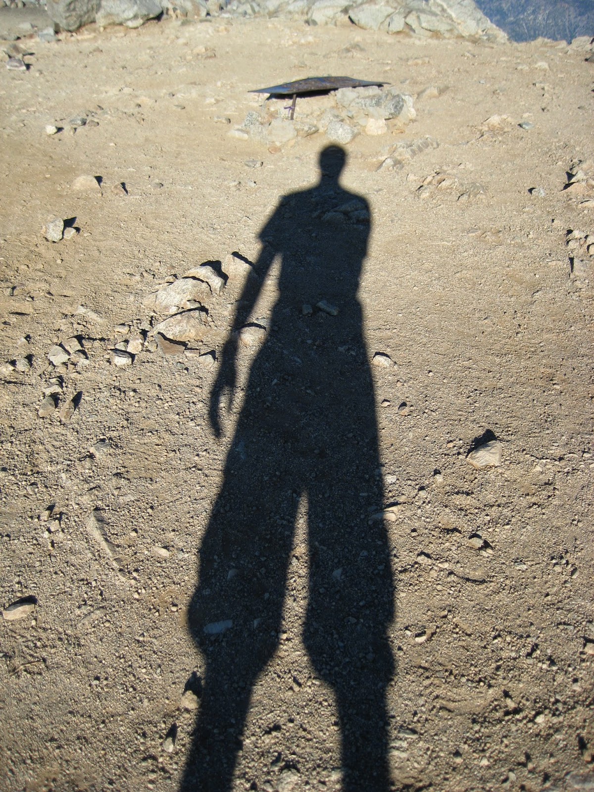
Playing with shadows at 6:30AM

 Early morning on Baldy Bowl. Somewhere out there, a benighted hiker is praising the dawn.

With the exception of two things, the remainder of the hike to the summit was unremarkable. First, I made a point of stopping every few minutes to look and listen for the missing hiker. Second, one or two SAR helicopters were making the rounds, sometimes passing only a hundred feet overhead. 

The homestretch. 

SAR helicopter passing over Harwood Peak

 Baldy/Harwood Saddle in morning shade

A little before 8AM, I stepped onto the summit and noticed two SAR personnel nearby on the West Baldy ridge. After stopping for a few pictures on the summit, I walked over to them and inquired about the search. They had hiked up to the summit during the night, but had seen no signs of the missing hiker.

The summit at 8AM

 SAR helicopter heading toward West Baldy Peak

After taking a short break there on the West Baldy ridge (and thereby unfortunately missing the omnipresent Shin on the summit), I started down the Ski Hut Trail. Several hundred feet down, in the vicinity of the airplane wreckage, I spotted two SAR personnel. Moving slowly through the upper reaches of Goode Canyon, they were pausing every minute or so to yell the missing hikers name. Continuing on my way, I decided to cut down the western side of the bowl, in order to scan the bowl for signs of the missing hiker.  

Baldy Bowl

 San Antonio Ski Hut

Arriving at the ski hut with shoes full of sand and grit from scree-skiing, I paused to empty them out, which was just long enough to hear a woman scream, "Oh my God, here's my wedding ring! I've been looking for this for a month!"

Far below the ski hut, I saw two pairs of SAR personnel slowly making their way up San Antonio Canyon. With full packs and long sleeve clothes, they must have been baking. Around the same time, I found myself re-entering mosquito territory, and was subsequently pestered all the way back down to the parking lot. But before reaching my car, I made a quick stop at the porta john, which was as hot as a sauna. Is there any better way to end a hike?

Arriving home at noon, I immediately hopped on the internet to check for updates on the missing hiker. To my surprise, there was nothing to be found then or the rest of the day. It was only later in the evening that I got word (from the omniscient Shin) that the hiker had been found around noon. 

Friday, August 15, 2014

A Presidential Loop in the White Mountains of NH: Short-Armed Climbers Beware!

It's becoming an annual tradition for me to do a solo overnight in the White Mountains of New Hampshire in early August. Having hiked in the Whites with my father every summer growing up, there's ample opportunity for nostalgia. Thus it was that at 3:30AM on August 5 (2014), I was pulling out of my in-laws driveway in southern MA en route to Pinkham Notch. 

After four hours of driving, lots of coffee, and several CDs from the fascinating audiobook Mayflower, I parked at the busy Pinkham Notch visitor center. By 8AM, I was hiking toward the Madison Spring Hut by way of the notorious Madison Gulf Trail. 

 It begins ...

On the Madison Gulf Trail

 A lovely place for a break

I didn't realize the Madison Gulf Trail was notorious until I could be bothered to read the alarming trail description the day before setting out. The White Mountain Guide cautions that the trail "is one of the most difficult in the White Mountains" involving "loose rock" and "scrambling" with potentially "difficult stream crossings" and that "parties frequently fail to reach the hut before dark because of slowness on the headwall." Perhaps most worrying for some is this passage: "hikers with short arms may have a particular problem reaching the handholds." Fortunately for me, my arms are long, so I was undeterred. In fact, the warnings only served to exhilarate me, as did the weather forecast, which was predicting thunderstorms in the early afternoon. 

True to the trail description, the Madison Gulf headwall was interesting. Just before reaching the headwall, I encountered a group of hikers who had just descended it. Two of the boys were talking a mile a minute, advising me to avoid the steep wet slabs by bushwhacking around them, while an older companion appeared completely disheveled, stating ominously that I was in for an "adventure".

The adventurous headwall section seemed to last for about 500 vertical feet, with the crux being a fifty-foot scramble up a steep slab that could be considered third class. Being very comfortable on this sort of terrain, and going up instead of down, there would be no bushwhacking for me. And before long, I reached the alpine zone and felt that I was officially back in the White Mountains. 

Nearing the headwall section ...

The crux of the headwall section. It's hard to tell, but this slab is about fifty feet high and steep. The "trail" goes right up it. 

Welcome to the Alpine Zone

 Star Lake with Mt. Adams in the background

I reached the Madison Spring Hut, where I would be spending the night, at 1PM after 7 miles and 3500 feet of elevation gain. The hut was renovated in 2011 and looked great. After picking out a bunk and enjoying a warm bowl of soup with fresh-baked bread, I hurried up to the summit of Mt. Madison to beat the rain. But the rain never came, and the remainder of the day was glorious. 

The newly renovated Madison Spring Hut

On top of Mt. Madison with Mt. Washington (L) and Mt. Adams (R) in the background 

Looking down on the Madison Spring Hut from the Mt. Madison spur trail

 Sunset from the Madison Spring Hut

The next morning started with a splendid (and filling!) breakfast of oatmeal, apple cobbler, quiche, and bacon at 7AM. But outside it was socked in and chilly. With a full day ahead of me, I hustled out of the hut at 8AM. 

For the next several hours, I made my way through dense fog, wind and drizzle over the three highest summits in the White Mountains -- namely, Mts. Adams, Jefferson, and Washington -- and ascended 3,000 vertical feet in the process. My glasses were fogged up for most of the 6-mile traverse, so I had to manage without them. Since there is no trail over much of this terrain, just cairns at regular intervals, route-finding became a little stimulating at times.    

Good morning. Navigating by cairns with fogged up glasses. 

Windy and drizzly on top of Mt. Adams

Getting close to Mt. Washington summit


 After hiking mostly alone through the mist for 5.5 hours, it was somewhat of a shock to encounter the crowds on Mt. Washington summit who had arrived by car or train. And I can't say that I was thrilled about having to wait in line to get a summit photo. That said, the clam chowder in the summit cafeteria sure hit the spot. 

Who among us can resist the summit selfie?

 The perks of a civilized summit

Concerned about how my knees would respond to the relentless 4,250-foot descent of the Tuckerman Ravine Trail, I was pleasantly surprised to find that they felt great all the way down. In fact, I felt rejuvenated, cruising downhill as if I were ten years younger. And to make things better, the clouds finally cleared on the descent, affording spectacular views of this place I love -- a place that from time to time gives me a deep and genuine sense of happiness that is somehow elusive almost everywhere else. 

Pondering this elusive sense of happiness that I keep going back for in the White Mountains, I recalled a few lines of a poem by William Butler Yeats entitled "The Song of Wandering Aengus":

Though I am old with wandering
Through hollow lands and hilly lands,
I will find out where she has gone,
And kiss her lips and take her hands;
And walk among long dappled grass,
And pluck till time and times are done
The silver apples of the moon,
The golden apples of the sun.
 

Tuckerman Ravine

Looking up at Tuckerman Ravine in a light rain.

Tuesday, July 15, 2014

Mt. Whitney, Main Trail

On July 14, 2014, I made my 20th anniversary ascent of Mt. Whitney. The drive to the Sierras the day before was full of uncertainty, because all the sites in the Whitney Portal campground were reserved, as were all of the Whitney Zone day-use permits. But when I arrived at the evocatively named Eastern Sierra Interagency Visitor Center for the daily 2PM permit lottery, I was pleasantly surprised to find plenty of available day-use permits. Even better, when I pulled into the Whitney Portal campground, there were several open sites. 

Whitney Portal Campground

At 2:40AM the next morning, after an extremely fitful sleep, I stepped onto the trail under a bright full moon. I hiked for about three hours by moonlight, only turning on my headlamp in a few spots. However, all of the other hikers I encountered had headlamps on full blaze, which was very annoying, in part because it undermined my night vision.  

Sunrise above Trailside Meadow

Mt. Muir (not Mt. Whitney) dominates the scenery above Trail Camp. 

On the 99 switchbacks, looking back down to Trail Camp Lake

 Hitchcock Lakes from Trail Crest

There were a lot of people on the trail, which actually turned it into an enjoyable social experience. I hummed along at a decent pace until Trail Crest (~13,800 feet), but the final 2.5 miles to the summit were a real grind. It rained intermittently for the last mile or so, which also added a wearying element of uncertainty. It rained hard enough at one point, that I had to stop and don my rain jacket. Not setting any speed records, I arrived on the summit around 10AM. Though the summit was crowded initially, I stayed long enough to savor a little alone time. 


Looking north from the summit to Mt. Russell and Mt. Williamson

 Looking west from the summit past the summit house

Taking a slight detour from the summit, I located the exit to the Mountaineers' Route, which I had ascended twenty years ago. I hollered down a few times for a friend who was supposed to be coming up, but heard no response. Then I began plodding back down. Unfortunately, the 2.5 mile return trip to Trail Crest also involves a fair amount of upward plodding, which seemed to take a lot out of me. 

Since I was spending another night at the campground, I was in no hurry to get down. So I took a nice long break at the 23rd switchback to purify water and another long break at Lone Pine Lake to soak my feet. Finally, by 6PM, I was enjoying a burger and possibly more than one beer at the Whitney Portal Store.

Heading back down the switchbacks

Mirror Lake and the southeast face of Thor Peak

Waterfall at Outpost Camp

Lone Pine Lake

The Whitney Portal Store

For whatever reason, I had another really crummy sleep that night. I just couldn't find a comfortable arrangement of sleeping pads and smoke seemed to be pouring into my tent from a nearby campfire. How ironic: we go to the mountains for fresh air, but then make camp fires and breath smoke instead. 

The following morning, I awoke to the surprising sound of raindrops on the tent fabric. Within minutes it was raining steadily, which meant that everything got a little wet before making its way into the car. Although my stiff and sore body protested all the frantic rushing around first thing in the morning, it was nice to be eating a breakfast burrito with coffee in Lone Pine at 7AM and to be back in Orange County by noon.

Saturday, June 7, 2014

Mt. San Gorgonio, NW Ridge

On June 6, 2014, I scrambled up the Northwest Ridge of Mt. San Gorgonio. I had no plans to climb the route when I left the South Fork trailhead at 5:30AM. But when the line came into view, and I had no information about the ridge other than what I could see, I sensed an opportunity for modest adventure that should not be missed. Thus it was that mere minutes later I was thrashing through brush to the base of the ridge.

The north side of Mt. San Gorgonio. The NW Ridge forms the right skyline.

The bushwhacking actually wasn't that bad, but I didn't know that prior to bee-lining it toward the ridge. Once on the ridge, I found the class 2-3 scrambling to be very enjoyable. In fact, I felt that it was the most rewarding route I'd ever done on San Gorgonio. It wasn't until the upper third of the route that I began to see signs of prior travel. This gave the route a wild, backcountry feel that can be elusive in southern California.

Looking back at the approach to the ridge. It involved some bushwhacking, but surprisingly not that much. 

Jepson Peak from the NW Ridge

Looking down the NW Ridge

 A moment of backcountry bliss on Mt. San Gorgonio

Gaining the crest, it was an easy plod to the summit, which I reached at 10:45AM. I then took the line of least resistance straight down the scree on the north side and was driving home by 3PM. All in all, it was a surprisingly great day in the local mountains.   

The final plod to the summit of Mt. San Gorgonio

Sunday, April 20, 2014

The Slog in Uncertainty

Today I'm releasing my fourth album of guitar-driven pop/rock in four years (good grief!). The Slog in Uncertainty contains eight original songs. The album can be streamed/purchased at SamPageMusic.com and all of the other usual places.

The photo on the album cover was taken by Kevin Trieu on Pik Lenin in Kyrgyzstan. The horse and rider were resupplying climbers at camp 1 after three days of continuous snow. Ed Lupyak did the graphic design work.